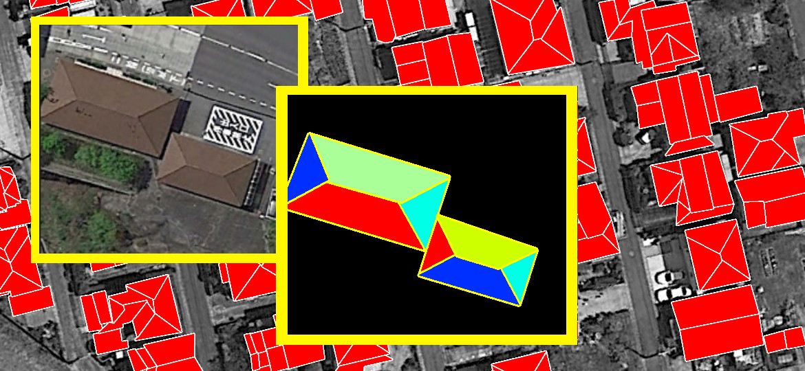
We utilized state-of-the-art and our own technologies based on computer vision, object detection, image segmentation and image processing to bring AI into this field. Our solution is a part of big pipeline that can do the following:
- Detect objects, determine its types and geometry on images from drone or satellite
- Recognize buildings and their geometry, including roofs layout, building type, its height and size
- Recognize roads, lakes, rivers, and put them on the map
- Analise forests configuration, detect changes over time by comparing with previous observations


